


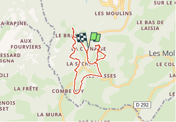


16.3 km | 31 km-effort
![Trail Equestrian Septmoncel les Molunes - Point de vue [Poney Cernaise] - Photo](https://media.geolcdn.com/t/1900/400/ext.pjpeg?maxdim=2&url=https%3A%2F%2Fstatic1.geolcdn.com%2Fsiteimages%2Fupload%2Ffiles%2F1524743154cheval.jpg)

User


FREE GPS app for hiking
 SityTrail
IGN / Geographical institutes
SityTrail World
The world is yours!
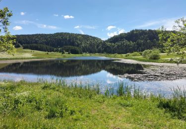
Trail Equestrian of 7 km to be discovered at Bourgogne-Franche-Comté, Jura, Septmoncel les Molunes. This trail is proposed by Tanguyeu.

Walking
Mountain bike

Running

Walking
Walking
Walking
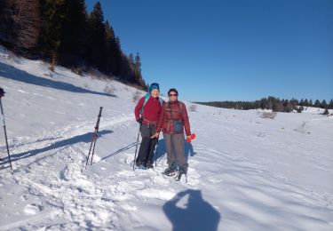
Snowshoes
Walking
Walking